Summary and Setup
This lesson is an introduction to working with raster and vector data in R for researchers in urbanism or related fields. After a brief introduction to R, it focuses on vector and raster data and their use in practical GIS operations on urban datasets.
The content of the workshop was adapted from the three lessons of Data Carpentry Geospatial workshop, as follows:
Stachelek, J., & Marwaha, K. (2023). datacarpentry/organization-geospatial: Data Carpentry: Introduction to Geospatial Concepts 2023-05 (2023.05) [Computer software]. Zenodo. https://doi.org/10.5281/zenodo.7897047
Stachelek, J., Njambi, S., Mahoney, M., sheila, Thomaz, A. T., Rasel, A. A., Pérez-Suárez, D., Koontz, E., Molloy, J., Jablonski, J., Fung, J., Leinweber, K., Sisk, M., Detomasi, R., Stevens, S. L., Stewart, S., Chen, S., & Ng, W. (2023). datacarpentry/r-intro-geospatial: Introduction to R for Geospatial Data 2023-05 (2023.05) [Computer software]. Zenodo. https://doi.org/10.5281/zenodo.7897052
Stachelek, J., Becker, E. A., Asberry, D., Strimas-Mackey, M., Rasel, A. A., Li, A., Avery, R., kcarini, Marwaha, K., mneilson-usgs, Sparks, A. H., bart1, Knudsen, C. B., Kerchner, D., Vanichkina, D. P., Pérez-Suárez, Jablonski, J., Liou, M., Morandeira, N., & Williams, R. (2023). datacarpentry/r-raster-vector-geospatial: Data Carpentry: Introduction to Geospatial Raster and Vector Data with R, February 2023 (v2023.02.06) [Computer software]. Zenodo. https://doi.org/10.5281/zenodo.7612769
Overview
This workshop is designed to be run on your local machine. First, you will need to download the data we use in the workshop. Then, you need to set up your machine with the software required to analyse and process geospatial data. We provide installation instructions below for all components.
Data
Download the data zip file and unzip it to your Desktop. The file is 67.5 MB.
Software
| Software | Install | Manual | Available for | Description |
|---|---|---|---|---|
| GDAL | Link | Link | Linux, MacOS, Windows | Geospatial model for reading and writing a variety of formats |
| GEOS | Link | Link | Linux, MacOS, Windows | Geometry models and operations |
| PROJ.4 | Link | Link | Linux, MacOS, Windows | Coordinate reference system transformations |
| R | Link | Link | Linux, MacOS, Windows | Software environment for statistical and scientific computing |
| RStudio | Link | Linux, MacOS, Windows | GUI for R | |
| UDUNITS | Link | Link | Linux, MacOS, Windows | Unit conversions |
We provide quick instructions below for installing the various software needed for this workshop. At points, they assume familiarity with the command line and with installation in general. As there are different operating systems and many different versions of operating systems and environments, these may not work on your computer. If an installation doesn’t work for you, please refer to the installation instructions for that software listed in the table above.
If you have previously installed these software on your computer, please make sure to update your installations. Using the latest versions of R, RStudio, R packages and external dependencies indicated in the setup instructions will ensure that the software we use behaves the same way on all computers during the workshop.
To install the geospatial libraries, install the latest version RTools
Install the geospatial libraries individually using homebrew. Open Terminal.app and run the following commands:
Steps for installing the geospatial libraries will vary based on
which form of Linux you are using. These instructions are adapted from
the sf package’s
README.
For Ubuntu:
BASH
$ sudo add-apt-repository ppa:ubuntugis
$ sudo apt-get update
$ sudo apt-get install libgdal-dev libgeos-dev libproj-dev
For Fedora:
For Arch:
For Debian: The rocker geospatial Dockerfiles may be helpful. Ubuntu Dockerfiles are found here. These may be helpful to get an idea of the commands needed to install the necessary dependencies.
UDUNITS
Linux users will have to install UDUNITS separately. Like the
geospatial libraries discussed above, this is a dependency for the
R package sf. Due to conflicts, it does not
install properly on Linux machines when installed as part of the
sf installation process. It is therefore necessary to
install it using the command line ahead of time.
Steps for installing the geospatial will vary based on which form of
Linux you are using. These instructions are adapted from the sf package’s
README.
For Ubuntu:
For Fedora:
For Arch:
For Debian:
To install R, Windows users should select “Download R
for Windows” from RStudio and CRAN’s cloud download page, which will
automatically detect a CRAN mirror for you to use. Select the
base subdirectory after choosing the Windows download page.
A .exe executable file containing the necessary components
of base R can be downloaded by clicking on “Download R for Windows”.
To install R, macOS users should select “Download R for
macOS” from RStudio and CRAN’s cloud download page, which will
automatically detect a CRAN mirror for you to use. A .pkg
file containing the necessary components of base R can be downloaded by
clicking on the first available link (this will be the most recent),
which will read R-4.x.x-arm64.pkg for Apple silicon (M1/M2)
Macs and R-4.x.x-x86_64.pkg for older Intel Macs.
To install R, Linux users should select “Download R for
Linux” from RStudio and CRAN’s cloud download page, which will
automatically detect a CRAN mirror for you to use. Instructions for a
number of different Linux operating systems are available.
RStudio
RStudio is a GUI for using R that is available for
Windows, macOS, and various Linux operating systems. It can be
downloaded here. You
will need the free Desktop version for your computer.
In order to address issues with ggplot2, learners and
instructors should run a recent version of RStudio (v1.2 or
greater).
R Packages
The following R packages are used in the various
geospatial lessons.
-
tidyverse- this is a collection of packages for data science that contains thedplyrandggplot2packages we will use throughout the lessons. terrasf
To install these packages in RStudio, do the following:
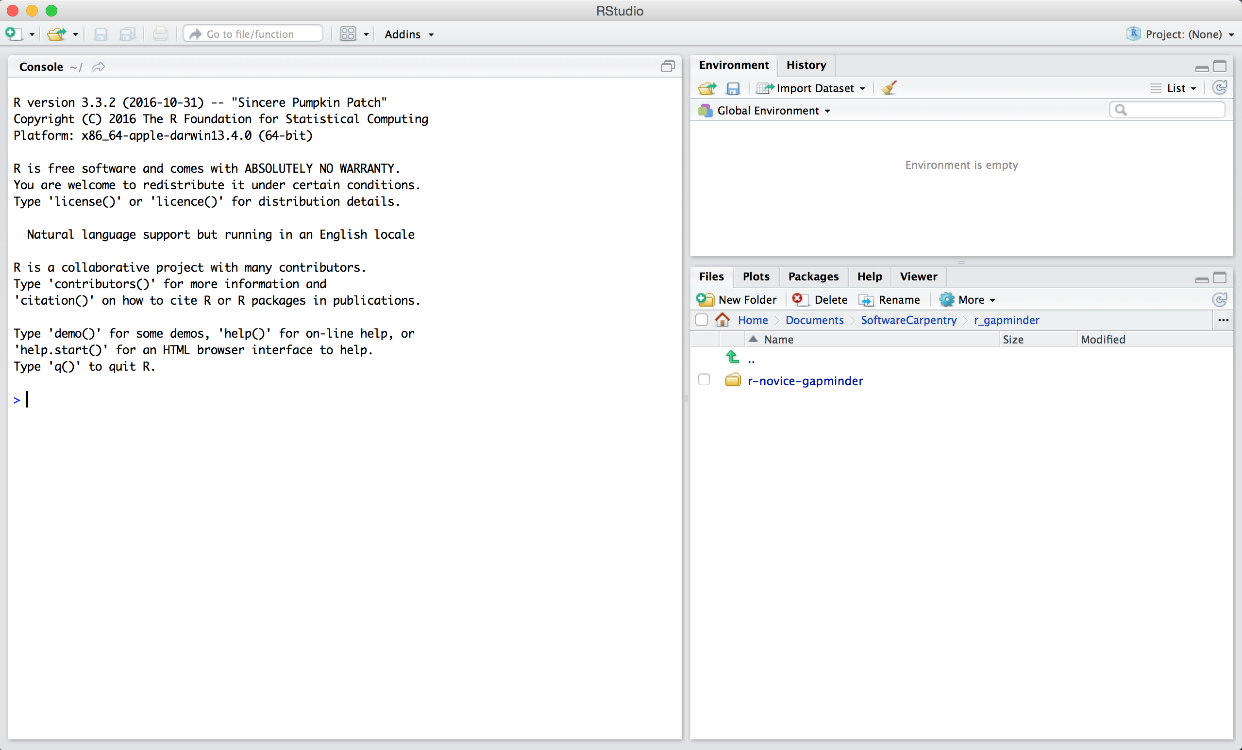
1. Open RStudio by double-clicking the RStudio application icon. You
should see something like this:
2. Type the following into the console and hit enter.
R
install.packages(c("tidyverse", "terra", "sf"))
You should see a status message starting with:
OUTPUT
trying URL 'https://cran.rstudio.com/bin/macosx/big-sur-arm64/contrib/4.3/tidyverse_2.0.0.tgz'
Content type 'application/x-gzip' length 428470 bytes (418 KB)
==================================================
downloaded 418 KB

trying URL 'https://cran.rstudio.com/bin/macosx/big-sur-arm64/contrib/4.3/terra_1.7-55.tgz'
Content type 'application/x-gzip' length 97482563 bytes (93.0 MB)
==================================================
downloaded 93.0 MB

trying URL 'https://cran.rstudio.com/bin/macosx/big-sur-arm64/contrib/4.3/sf_1.0-14.tgz'
Content type 'application/x-gzip' length 86848420 bytes (82.8 MB)
==================================================
downloaded 82.8 MB
When the installation is complete, you will see a status message like:
OUTPUT
The downloaded binary packages are in
/var/folders/hk/0c_kwgjs1zlgczjlszxgq348281j_b/T//RtmpTmRDrL/downloaded_packages
You are now ready for the workshop!